Work package 2 is focusing on the parameterization and development of physical and numerical models for saltmarsh and dune vegetation of the north-sea coast of Germany to expand the knowledge of ecosystem services provided by these systems to develop an integrated coastal zone management concept.
Field and laboratory observations and experiments as well as numerical simulations help apprehending coastal processes to promote a sustainable and nature-based coastal protection with minimal anthropogenic influence.
Systematic observations are conducted to identify seasonal and local changes of vegetation regarding zonation, height, density and biomechanical parameters like the bending stiffness. Complementary field data of soil properties and topography indicate erosion stability and will be measured for multiple annual cycles. This will facilitate to investigate and develop a numerical model of interactions between vegetation, hydrodynamics, erosion and transport processes. The goal is to determine the vegetation influence for storm surge scenarios in regards to climate change.
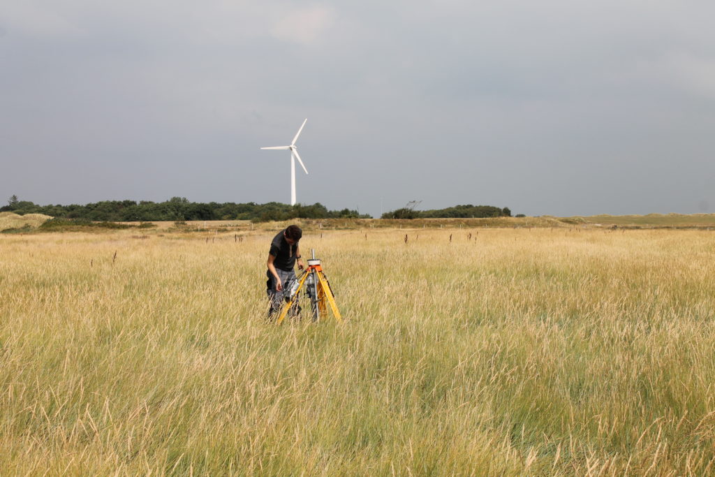
In the salt marsh “Ostergroen” canopy height, stem thickness and horizontal density of vegetation was surveyed monthly from December 2021 to December 2022. Furthermore, bending experiments were carried out, to map bio mechanical properties such as the E-modulus, flexural regidity and in order to determine maximum load capacities. Preliminary results for the species Spartina anglica are published in Keimer et al. (2023). In addition, the salt marsh species Elymus spp. was investiged. On the island of Spiekeroog, a hybrid consisting of Elymus repens and Elymus athericus is present. Beyond the vegetation survey, monthly surface soil resistance data was acquired using the DiCoastar instrument (see. Kosmalla et al., 2022). Data is currently being processed.
Phyical modelling
Based on the field data the surveyed vegetation species are simplified and parametrized. Amongst many attempts, vegetation models were systematically developed using 3D printing in combination with flexible resin. Prints were subsequently investigated for their flexible ridgidity and bending properties. This was done to evaluate if the chosen simplification approach is suitable for experiments with vegetation in waves and currents. Preliminary results are published in Keimer et al., (2022). Further data is currently being processed and results evaluated.
Based upon the extensive field survey data and additional insights gained through physical experiments in the laboratory, the plant-wave interaction is simulated with computer models. This allows the investigation of further scenarios and boundary conditions not met during the field survey. The movement of the flexible vegetation is firstly investigated on a single plant culm, made up of flexible elements. Field and lab data serves as cailbration data. Subsequently, the validated model parameters can be used to map larger areas of salt marsh vegetation. This will also allow for consideation of seasonality of its vegetation dynamics and its respective impact on wave damping through the seasons. The model is currently being validated. Further experimental tests are planned.
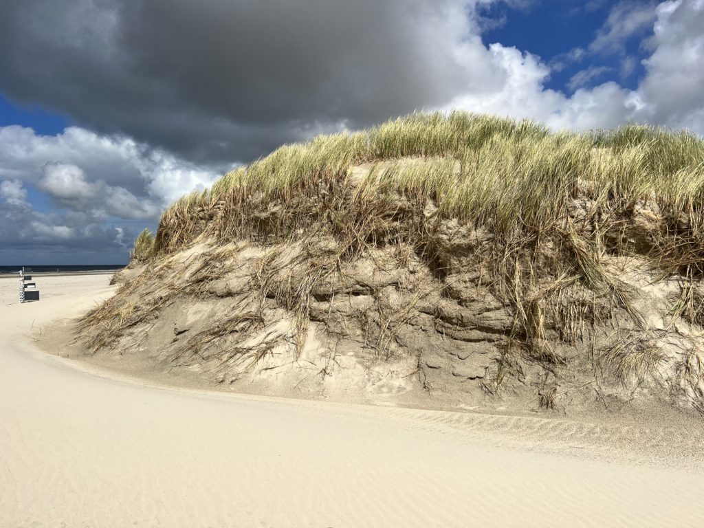
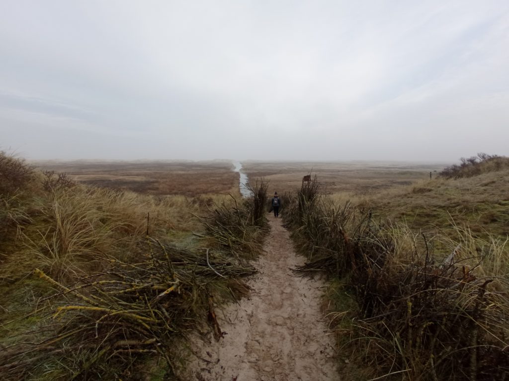
Dunes are investigated on Spiekeroog at various locations. To that regard measurements were conducted from November 2021 throughout December 2022 focusing on Ammophilia Arenaria, the predominant white dune vegetation. Amongst others the canopy height was assessed, as well as horizontal density and culm thickness. Furthermore, representative vegetation samples were gathered for further analysis at the nearby environemntal laboratory of the national park house Wittbülten on Spiekeroog. This prevented unecessary long transportation trips for the samples, potentially skewing laboratory results due to wilting and aging of the samples. Subterranian sample material was gathered consisting of roots and rhizomes, which had to be evaluated at a laboratory at the Technical University of Braunschweig due to testing standards.
Measurements were conducted monthly to map the seasonal development of vegetation properties first time covering a whole year. Focus area was a single detached white dune on the northern coast of Spiekeroog exposed to direct wave and wind attack from due north. The dune was segmented horizontally into 10 sectors to systematically acquired samples and data. Furthermore, on the western tip of the island a contineous white dune was investigated. A 50 m long segment was surveyed on the sea and land side. In conrast to the detached dune, this line dune was segmented into 5 vertical areas along its cross profile for systematic data acquisition.
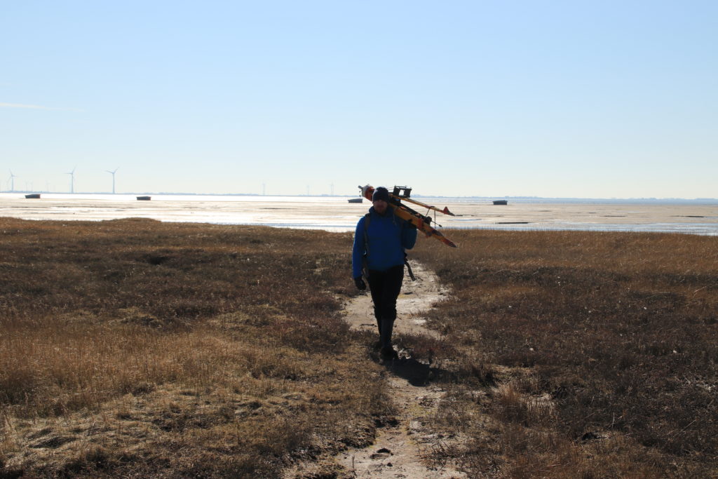
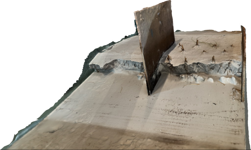
Additionally to vegetation samples, sediment samples were acquired and evaluated to obtain sieve curves and map potential influences through weathering. Deployed soil sensors logged various soil parameters contineously over the year to provide contextual data. Surface scans were periodically conduced using LIDAR technology as well as terrestrial laser scanners. Surface and terrain data will allow for morphological analysis. Most of the data is currently being processed.
Physical modelling
In order to deduce influences of dune vegetation onto soil erosion under storm surge conditions physical laboratory experiments were carried out. These were conducted in a wave flume at the TU Braunschweig spanning 90 m in length, 2 m in width and 1 m in depth. Initial tests investigated the influence of horizontal vegetation density onto erosion patterns. By means of LIDAR scans and photogrammetry temporally and spatially highly resolved erosion dynamics were mapped. In addition on a smaller scale in a flume 9 m long and 0,3 by 0,3 m in crosssection initial experiments for mapping the influence of subterranian plant material (roots) onto erosion resistance were conducted. Both sets used live batch plants, previously grown in a green house for several months. Furthermore, first experiments were carried out with vegetation surrogate models based on various fiber materials. Data is currently being processed and evaluated.
Numerical modelling
Utilizing the field survey and experimental data collected for Ammophilia Arenaria, surrogate and dune reinforcement experiments were conducted in the experimental lab to mimick root impact. Data aquired during the tests serves calibration data for setting up numerical models. Computer models allow for much easier changing of parameters regarding soil composition or vegetation properties above and below ground compared to physical laboratory experiments. Thus acquired field and lab data serves as calibration and validation data for simulations.